

On the show this morning we asked our guest, University of Colorado earth scientist Roger Bilham, about the possibility of a major earthquake in the Himalayan region. He confirmed that the region was overdue for a major quake and that people living in poor, rural areas would certainly be at risk from building collapse if — or when — such a quake were to occur.
Just a few hours later, Balochistan province in southwest Pakistan was hit with a magnitude 7.2 quake. How On Earth contributor Tom Yulsman, who hosted the interview with Bilham, has more details and further comments from Bilham at the CEJournal blog.
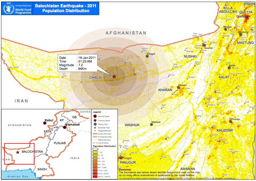
UPDATE: It appears that the epicenter was in a relatively unpopulated area. About 200 mud-wall homes were destroyed, but there were very few casualties. Contrast that with the 2005 earthquake in Kashmir, during which around 75,000 people died — most of them buried under the rubble of collapsed buildings.
